How to count aircraft on an apron from satellite imagery
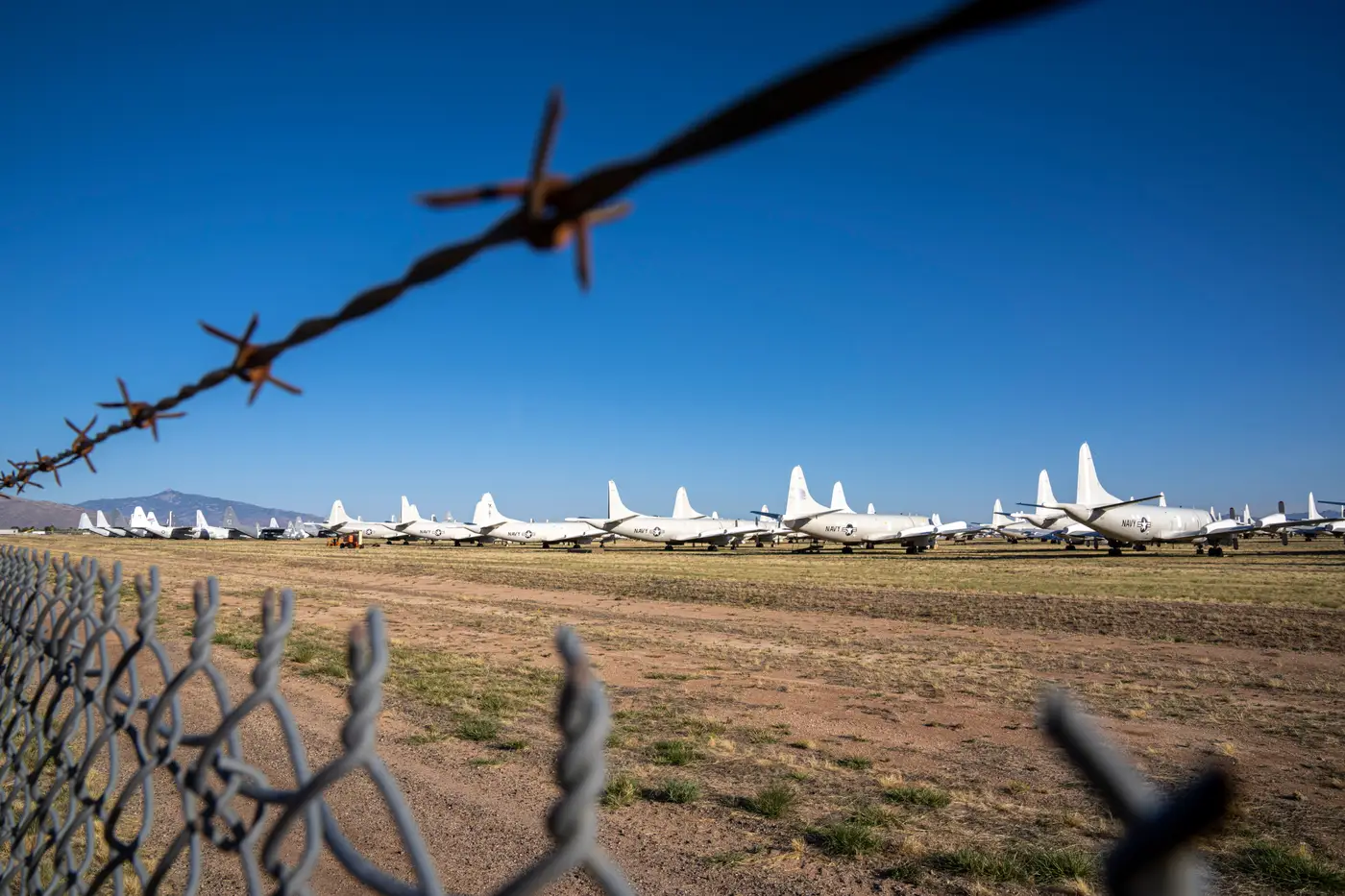
Counting aircraft on an apron sounds like a simple task until you're three tiles deep at 2am trying to work out whether that's one widebody or two narrowbodies nose to tail. The imagery gives you shape, shadow, and scale. It doesn't give you a number. You have to build that yourself, tile by tile, and the method matters more than people expect.
Reading the apron before you count
Start with orientation, not counting. Pull the most recent clear pass and a reference pass from a stable period, ideally the same sun angle if your provider lets you pick one. Lay them side by side. Fix your reference points first: the hardstands, the taxiway intersections, the revetment line if the field has one. You want a mental grid before a single tail gets tallied, because once you start counting aircraft your eye drifts and you lose track of which hardstand you've already covered.
Work the apron in one direction, left to right or by hardstand number, and don't backtrack mid-pass. Classify as you go rather than counting first and classifying after: tag each aircraft by broad type (fighter, transport, helicopter, unknown) at the same time you mark it, because a second pass to re-identify airframes is where most of the time goes and where most of the disagreement between two analysts comes from.
At VHR resolution, shadow geometry carries as much weight as the airframe outline itself. A shadow falling across the wingtip of the aircraft next to it is the single most common reason two analysts land on different counts from the same tile. If the sun angle is low, expect to under-count on tightly packed aprons and treat your first number as provisional until you've checked wingtip overlap against the revetment or taxi line spacing.
Where manual tile counts go wrong
The method above works. It also doesn't scale past a handful of fields checked occasionally, and it breaks down in specific, repeatable ways once you're doing it daily across more than one site.
Double counting at tile seams is the most common error. If your provider splits a scene into tiles and an aircraft sits on a seam, it's easy to log it once per tile without realizing you've done so. Canopy glint reads as a second small aircraft behind a larger one more often than analysts expect. Towed aircraft mid-move between apron and hardstand get logged as parked when they're really in transit, which matters if you're tracking turnaround tempo rather than a static headcount. And partial cloud or haze over one corner of the apron tends to get silently dropped from the count instead of flagged as unobserved, which quietly understates activity on exactly the days it would be useful to know you're missing data.
Some of these errors barely register in a single count. They compound in a count you repeat every day, on the same field, when the imagery is somewhat different each pass, the sun angle has shifted, and you're trying to remember whether yesterday's number already accounted for the two transports that moved from the apron into a revetment overnight.
Counting once versus tracking change
A single count tells you what's on the apron today. The harder question, and usually the one the desk actually wants answered, is what changed since the last clear pass. That means keeping every day's count in a format you can diff against the last one, by type, without re-deriving the whole picture from scratch each morning.
That's the part of the workflow worth automating rather than repeating by hand. Airfield Activity keeps a running log of apron and revetment counts by aircraft type for a named field, alongside the side-by-side imagery for the day the count changed, so the comparison step is already done before you open the tile.
If a field on your watch list needs that kind of daily log instead of a one-off tile count, that's the gap Airfield Activity is built to close.